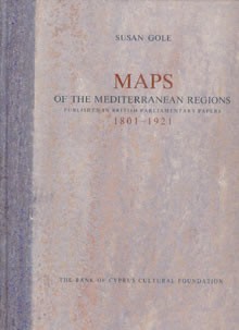
Description
A product of Susan Gole’s exhaustive research, awarded by the Cultural Foundation’s research program, the book treads until recently uncharted territory in international bibliography: the utterly ignored cartographic material attached to many of the British Parliamentary Papers. Out of a total of two to three thousand maps included in approximately 8000 volumes of all papers submitted to the British House of Commons (bills, memos, diplomatic and commercial reports etc) the author brings to light, classifies and presents hitherto unknown cartographic material consisting of 330 printed maps and topographic plans of the Mediterranean and the Black Sea regions between 1801–1921, which saw the British Empire at its height.


